Project S3 · Landscape design & construction drafting
Landscape construction drawings
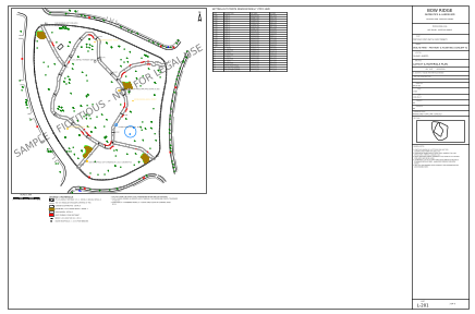
Wolfe Park, Calgary (1.48 ha, hardiness zone 4a). An accessible 2.5 m loop path (284.9 m plus 174.3 m of entrance spurs), a seating node, a rain garden and new planting, designed on the S1 survey and issued as six ARCH D sheets with a tree protection plan, quantities and a design QA report.
Results
Existing park and proposed design
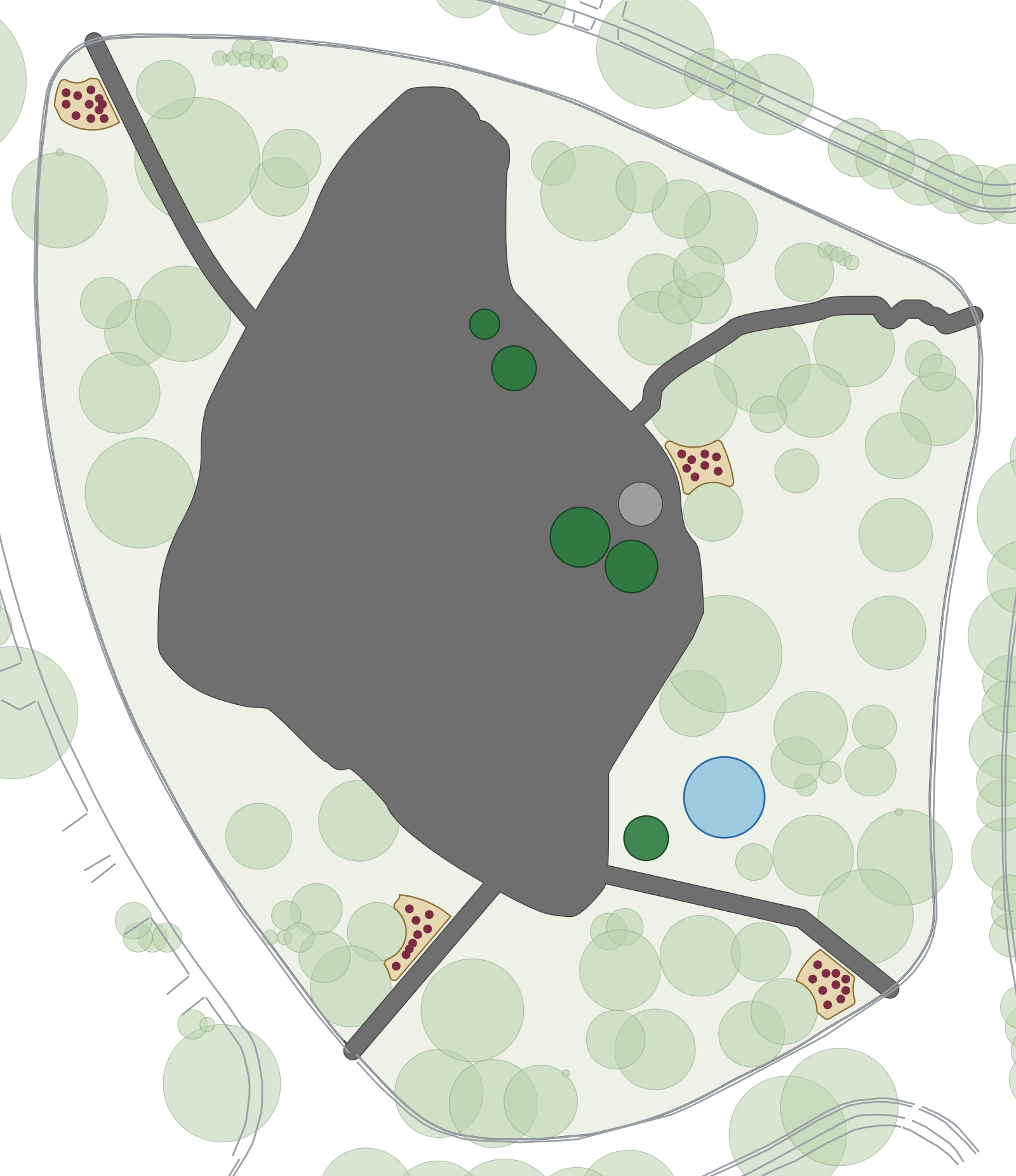
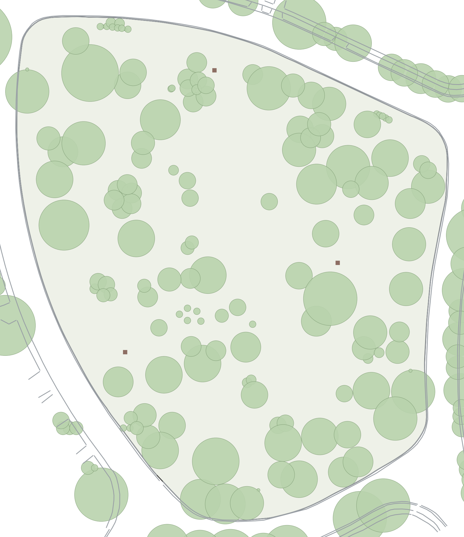
Drag the slider: the surveyed park on the left, the proposed works on the right (same extent, same scale).
What the standards decided
| Question | Answer | What forced it |
|---|---|---|
| How many trees can be planted? | 5 new trees | DGSS Table 1-2 caps this park at 145 trees; 140 already stand inside it. The remaining allowance set the number - each new tree is a different genus, and the two genera already over the 15 % limit (Picea 20.7%, Fraxinus 15.9%) were not increased. |
| Where can the path go? | 0 trees removed, 0 m² graded inside a tree protection zone | Every 4 m protection zone (plus the 2.5 m path width) was treated as solid. The loop is the cheapest cycle around a central island in the remaining free space, which makes it a real loop rather than a set of crossing corridors. |
| What about roots under the canopy? | 105.4 m of no-dig path, 90.5 m² of ground protection | Inside a drip line the design may not cut: the pavement is built up at least 100 mm on existing grade over geotextile, and construction traffic runs on mats. |
| Can every entrance be barrier-free? | Loop, E1 and E4 at ≤ 3.8 % | E2 (10.3 %) and E3 (6.9 %) cannot reach 4 % without cutting roots at the tie-in, so they are documented exceptions with the accessible entrances signed; the existing ground runs to 7.5 % at the 95th percentile. |
| Where does the water go? | Rain garden 120.3 m², 19 m³ storage | 200 mm ponding over a flat base with 4:1 sides (LID Module 2); the overflow route runs overland to the park edge without crossing the path, and concentrated flow over 1000 m² crosses the path in a culvert. |
Design map
Every layer comes from the project files. Click a tree, bed, no-dig segment, spot elevation or flow crossing to see the reasoning behind it.
No third-party basemap: the hillshade is the proposed surface model.
Drawing set
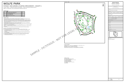
L-001 · Cover, general notes & drawing index
Standards list, 7 requests for information, design summary
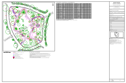
L-101 · Tree protection & removals plan
61-tree inventory, 1181.7 m of barrier fence, no removals
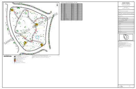
L-201 · Layout & materials plan
Chainage, setting-out coordinates, materials keyed to details
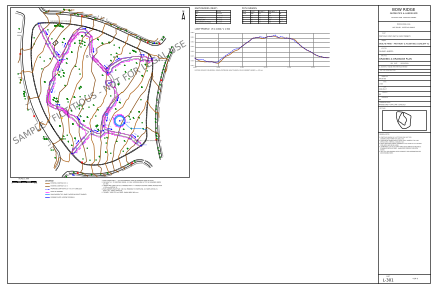
L-301 · Grading & drainage plan
Proposed contours, grade arrows, spot elevations, loop profile, earthworks
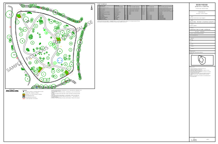
L-401 · Planting plan & plant schedule
Crowns at 2/3 mature spread, bed layouts, rain garden mixes
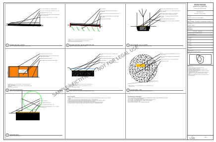
L-501 · Details
7 details redrawn from the cited standards with this project's values
ARCH D (914 × 610 mm), plans at 1:500 on the Bow Ridge CAD standard (74 layers, symbol library, title block).
DXF → DWG (ACAD2018) → DXF round trip through ODA File Converter on all 6 sheets: 0 audit errors, identical layers, blocks, entity counts and title block attributes
(ODA adds its own VIEWPORTS layer).
Workflow
Read the standards
Pathway, grading, planting, tree protection and rain garden values collected with document and page before design.Site analysis & layout
Slope, drainage, protection zones and sight lines as hard constraints; the loop is the cheapest simple cycle in the free space.Grading
One linear programme over the whole path network: grade cap, fixed tie-ins, no cut under drip lines, worst grade spread evenly.Planting
Count from the standard, then feasibility (setbacks, soil volume, sight lines, drip lines) before any species is placed.Tree protection
Disturbance, limit of work, fence lines to the drip line where possible, inventory and checklist for the City's Tree Protection Plan.Drawings & QA
Six sheets from the design data, then checks re-measured from the final geometry, quantities and a DWG round trip.Design QA
36 checks were re-measured from the finished geometry and the proposed surface model, so a mistake in an earlier step shows up here rather than on the sheet. 28 pass. The rest are carried openly on the drawings:
| Item | Result | Status | Source |
|---|---|---|---|
| running slope E2 RFI-2: roots under drip line prevent lowering; 1 m spot readings on the 0.25 m surface raster peak at 10.8% | design profile max 10.3%; surface max 10.3% (2 m baseline), 18 m over 4% | EXCEPTION | ADS p15; project target |
| running slope E3 RFI-2: roots under drip line prevent lowering; 1 m spot readings on the 0.25 m surface raster peak at 7.0% | design profile max 6.9%; surface max 6.9% (2 m baseline), 14 m over 4% | EXCEPTION | ADS p15; project target |
| trapped lows on or next to the path at a TPZ edge restraint; resolve with a weep gap / local regrade in detailing | 1 (39 mm / 1.1 m2) | OPEN | DGSS p128 6.1.3.4(3) |
| overhead clearance under crowns tree heights not surveyed (RFI-6) | 14 trees over path | RFI | DGSS p122 6.1.2.2(2) |
| bench seat height RFI-1 | 450 mm | RFI | DGSS p157; ADS p13 |
EXCEPTION = documented deviation carried on the drawings · RFI = a question for the City · REVIEW / OPEN = to be resolved in detailing.
Quantities
| Item | Quantity | Unit |
|---|---|---|
| Tree protection fence 1.2 m (Detail 4) | 1181.7 | m |
| Tree protection warning signs (1 per 10 m of fence, min 1 per enclosure) | 131 | ea |
| Ground protection mats under drip lines | 90.5 | m2 |
| Staging area set-up and restoration | 135 | m2 |
| Cut (neat) | 51.6 | m3 |
| Fill (neat) | 111.1 | m3 |
| Net import | 59.6 | m3 |
| Asphalt pathway 2.5 m, 75 mm City Mix B (Detail 1) | 1144.9 | m2 |
| Asphalt (75 mm), volume | 85.9 | m3 |
| 25 mm crushed gravel base 100 mm incl. shoulders | 128.2 | m3 |
| No-dig construction: geotextile (Detail 2) | 295.1 | m2 |
| Root-friendly edge restraint (no-dig edges both sides + TPZ edges) | 218 | m |
| Culvert under pathway (DGSS Detail 38, size RFI-4) | 1 | ea |
| Concrete seating pad (Detail 6) | 28.2 | m2 |
| Bench 1.8 m with back and armrests | 1 | ea |
| Waste receptacle (City standard) on 1.5 x 1.5 m concrete pad | 1 | ea |
| Protect existing memorial benches in place | 3 | ea |
| Bioretention growing media 450 mm | 31.2 | m3 |
| Plugs 300 mm o.c. | 1218 | ea |
| Overflow splash pad at outfall (DGSS Detail 46) | 1 | ea |
| Deciduous trees 60 mm cal. WB | 3 | ea |
| Coniferous trees 2.0 m WB | 2 | ea |
| Shrubs #2 container | 38 | ea |
| Shrub bed topsoil 600 mm | 106.4 | m3 |
| Shredded wood mulch 75 mm (beds + 1.0 m tree wells) | 13.6 | m3 |
| Topsoil 125 mm + sod on disturbed turf | 1247.9 | m2 |
| Topsoil 125 mm, volume | 156 | m3 |
What this shows
| Skill | Where it shows up in S3 |
|---|---|
| Working to municipal standards | Every dimension traces to a clause: DGSS 2026, Access Design Standards, LID Module 2, Tree Protection Plan Guide, City Plant Lists. |
| Producing a coordinated drawing set | Six sheets from one data set - layout, grading, planting and protection agree because they are generated from the same geometry. |
| Tree protection and site constraints | 61-tree inventory, 1181.7 m of fence, 105.4 m of no-dig construction, zero removals. |
| Grading and drainage | Path profiles, cross fall, daylighting, cut / fill, rain garden sizing and overland flow crossings. |
| Accessibility | Barrier-free route identified and the two entrances that cannot meet 4 % flagged as exceptions with a reason, not hidden. |
| Checking your own work | 36 independent checks, a QA report, quantities and a DWG round trip - all reproducible with one command. |
Limitations
- Portfolio sample by a fictitious firm; not sealed, not for construction, tender or permit.
- The base plan is the simulated S1 survey; underground utilities were never located and tree heights were not measured.
- The design was produced by scripts written for this site: it is a defensible concept, not a substitute for a landscape architect's judgement on planting composition.
- No soil or infiltration testing, no arborist assessment, no cost estimate - all flagged as RFIs on L-001.